Name and define an area of interest that will be used subsequently for other operations.
|
Icon |
Command |
Shortcut Key |
Toolbar |
|
|
TERRAINFENCEDEFINE |
|
|
This function allows you to name and define an area of interest that will be used subsequently for other operations. Such operations are where you want to limit calculations to a specific area. Civil Designer allows multiple fences to be defined and selected. If your intention is to exclude an area from displaying contours or from terrace volume calculations, you need to use Polyfences.
This is a very powerful tool because it enables most of the name-based survey editing routines, such as Height Constant, Surface Change, Automatic Screen, etc., to be constrained to a visually defined polygon.
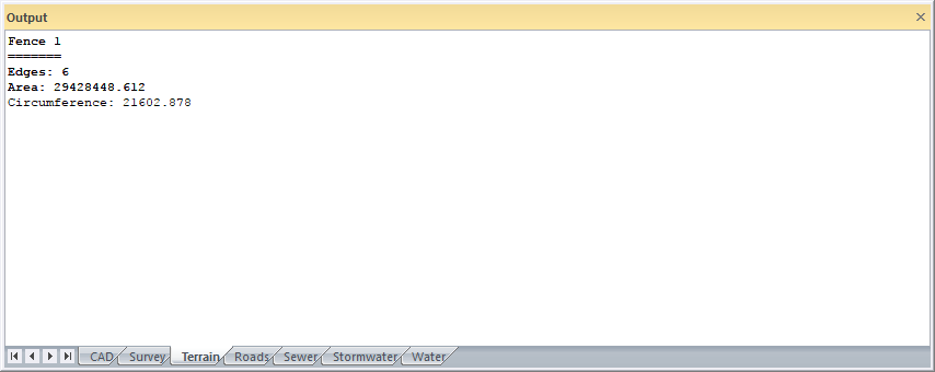
Define the perimeter of the polygon and close it by clicking on the start point again. There is no output from this function. The fence perimeter is stored in the project file.
To see where existing fences are, use the Display Defined Fences command.
See Also Fence Clip and Isograde Line.
Procedure
Fence: Indicate first point
Click on start of the fence.
Fence: Indicate next point (right-click to finish)
Continue indicating fence perimeter points.
Select one of the options to complete your selection.

Type in a new fence name and click OK to create the fence.