Home > Survey Mode > Reductions > Traverse > Introduction
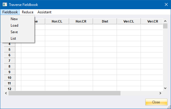
Display the traverse fieldbook.
|
Icon |
Command |
Shortcut Key |
Toolbar |
|
|
SURVEYTRAVERSE |
|
|
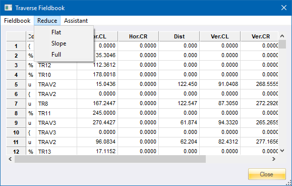
The traverse functions reduce a traverse using observed directions and distances:
A flat traverse can be reduced by using horizontal distances.
A slope traverse, using slope distances, can be reduced by incorporating vertical angles.
A full traverse is a slope traverse that incorporates corrections for the map projection.
By default, the traverse reduction works with Y and X coordinates only. By adding instrument and target heights, an elevation traverse can be calculated simultaneously.
Any traverse is adjusted by the Bowditch method.
Procedure
|
Option
|
Description |
|
Reduces a conventional simple traverse, in which it is assumed that all distance reductions have been carried out separately and that the distances supplied have been reduced to the horizontal. |
|
|
Reduce a traverse, where the provided slope distances must be reduced to the horizontal. |
|
|
Reduce a traverse, where the distances provided must be reduced to the horizontal and also require correction for Sea Level, Scale and Temperature. |