 Note that this routine is very susceptible to failure if your model has duplicate points. You should run the Remove Duplicates function before triangulating the site.
Automatically generate break lines between points.
|
Icon |
Command |
Shortcut Key |
Toolbar |
|
|
TERRAINTRIANGULATECDT |
|
|
This function allows you to triangulate a terrain surface using paged memory on disk. It is therefore slower than the in-memory option but handles far larger models.
The Triangulate routine creates triangles using break lines only. All pre-existing break line data on that surface is deleted before processing begins. Feature line data, however, is retained.
This form of model creation uses a Constrained Delauney tessellation algorithm to form the most equal-angular triangles that are possible, with due regard for any feature lines already present on the surface, and then converts the data to lines.
Note that this routine is very susceptible to failure if your model has duplicate points. You should run the Remove Duplicates function before triangulating the site.
Procedure
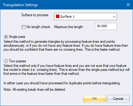
Fill in the relevant data and click OK.
Note that feature lines on the selected surface are retained.
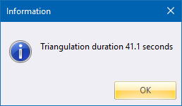
If a problem is detected during the triangulation, the function is automatically cancelled and you are presented with an error message. This hints at the most likely reasons for the triangulation failing, such as duplicate points or crossing feature lines. You now have the option to have the surface scanned for duplicate points.
