Optimise manual cross-section area.
|
Icon |
Command |
Shortcut Key |
Toolbar |
|
|
RD_AREAVOLMANUALOPTIMIZE |
|
|
This function allows you to visually balance cut and fill areas, or raise and lower a road so the extent of its earthworks fall within specified offsets.
It is necessary to have two complete layers, normally a ground (base) and a road (batter) layer. The road layer is floated up or down manually with the mouse until it is in the required position. Use the [Up] and [Down] arrow keys to move the batter layer at specified intervals. Pressing [Shift] and [Up] or [Down] moves the batter layer without prompting for an interval. Road reserves can be set so the visual check can also ensure that the extents of the earthworks remain within the bounds of the reserve.
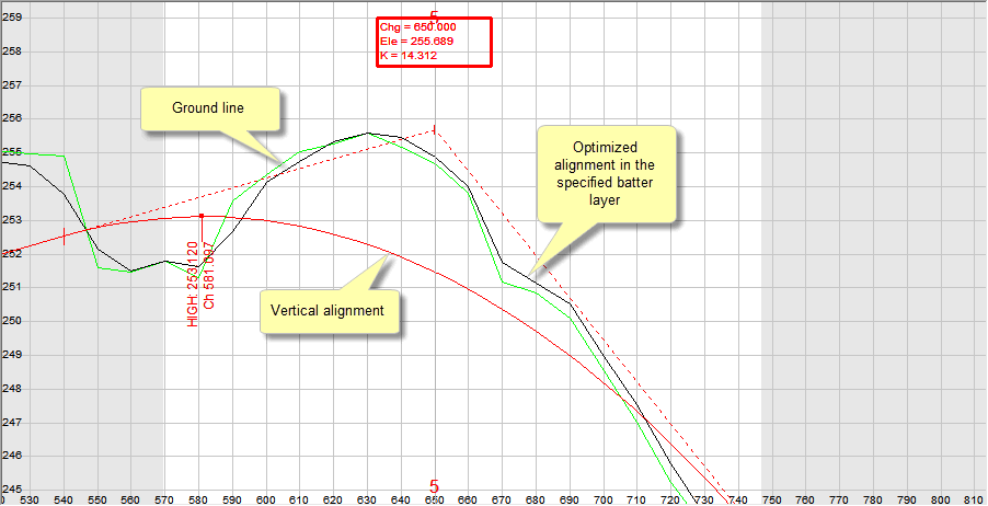
The distance by which the batter layer is offset (dy) from the vertical alignment is displayed on the bottom Status Bar. A negative value means that the batter layer is below the vertical alignment, while a positive value suggests that it is situated above the vertical alignment.
The revised profile is stored in the specified Batter Layer. This data can then be viewed in the Vertical alignment.

If you prefer, you can do this on paper by plotting a long section from this layer.
Procedure
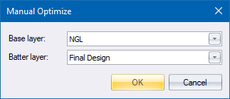
Fill in the relevant data and click OK to continue.
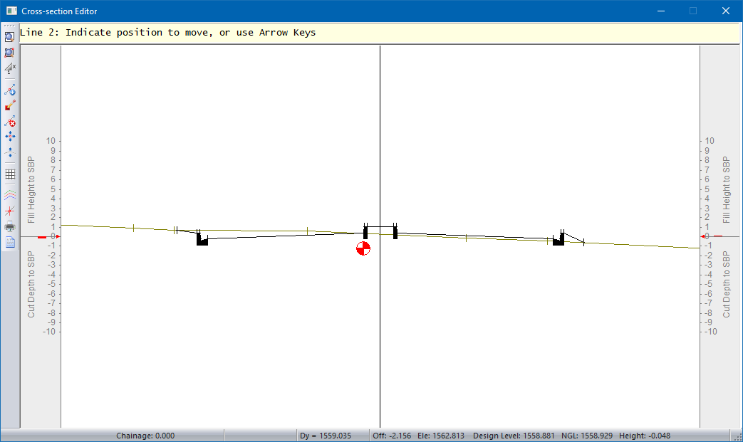
Line 2: Indicate position to move, or use Arrow keys
You can move using the mouse or the arrows keys.
Line 2: Indicate position to move to
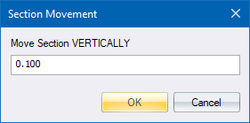
Specify the distance to move vertically, and then click OK.
If you press [Shift+Arrow] the design layer moves without prompting for an interval. Press [PgUp] and [PgDn] to move between chainages. Right-click or press [Esc] to cancel the current move if you are in the second part of the function, or to cancel the function if you are still in the first part.
