 An outline plan of the water surface is obtainable by translating the cross-sections back into DTM points. This is done using Translate.
Calculate dam area.
|
Icon |
Command |
Shortcut Key |
Toolbar |
|
|
RD_AREAVOLDAMAREA |
|
|
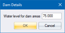
This function allows you to calculate the cross sectional areas of water in a dam. It requires that the ground or base cross-section of the dam be stored in a suitable layer. Only a water level for the dam needs to be supplied.
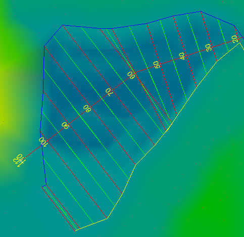
You must define a centreline along which cross sections are extracted, similar to a normal road. You also have to coordinate the centreline and extract ground cross-sections.
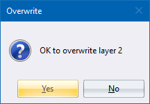
A theoretical water surface is then created and stored in the layer specified as the batter, overwriting any data that is already there.
Islands are catered for, and included in, the final layer. The wetted perimeter length is also printed.
An outline plan of the water surface is obtainable by translating the cross-sections back into DTM points. This is done using Translate.
Procedure
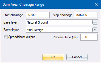
Fill in the relevant data and click OK.
If you selected the Spreadsheet output checkbox, the standard save options display so you can select a file to write to. The drive and path automatically default to the last used drive and directory for this type of file.
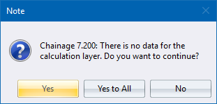
Click Yes to continue to the next chainage; Yes to All to skip over similar chainages; or No to cancel the function.