Only points within the current view are operated on.
Generate and view the site in 3D.
|
Icon |
Command |
Shortcut Key |
Toolbar |
|
|
TERRAIN3DVIEW |
|
|
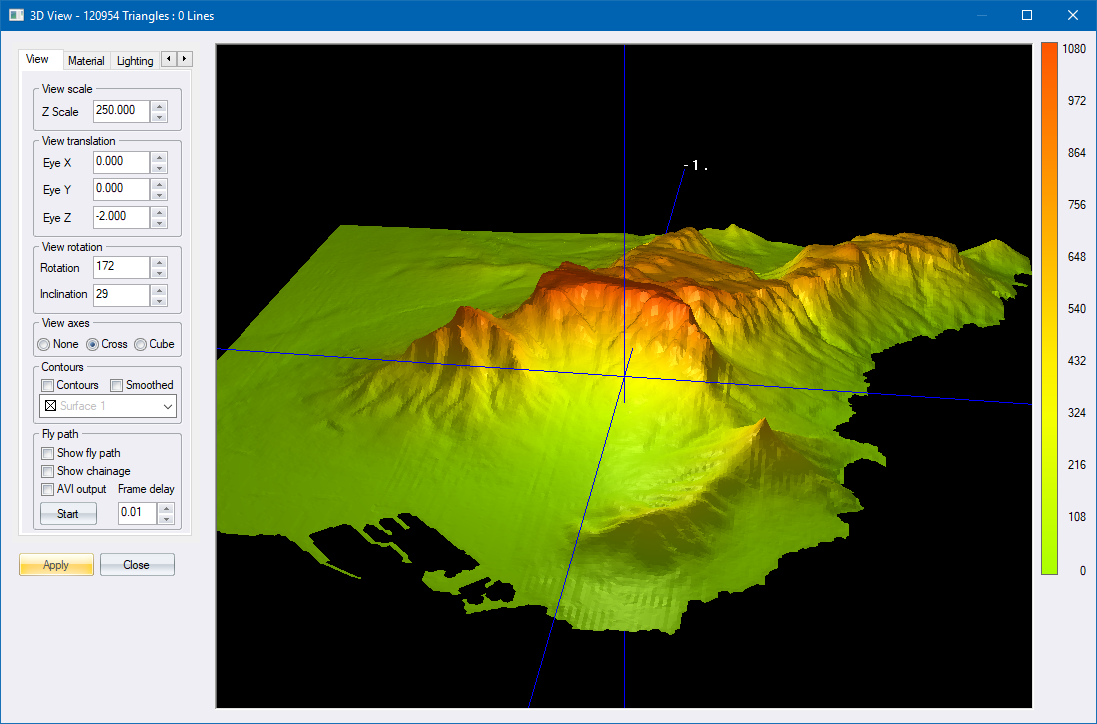
This function allows you to generate and display a 3D view, based on the line polygons in the terrain model.
You can choose to generate the view for only a base surface, or for a base and terrace surface. In both cases, the line polygons that define the surface are decomposed into triangles for the view. As each triangle is created, it is filled with a colour determined by the slope of the triangle. The colours and slopes used are the same as those defined for Slope Shading display settings.
If the view data was created previously, you are given the option to use that data or to regenerate the data. You should regenerate the data if the line model has been changed in any way.
Only points within the current view are operated on.
Procedure
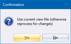
Click Yes to reuse the existing view data; or No to redefine the view.
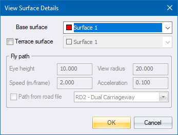
Fill in the relevant data and click OK.