 Note that latitudes in the southern hemisphere, and longitudes in the western hemisphere, must be entered as negative values.
Home > Survey Mode > Conversions > Geo Topo
Convert geographical coordinates to Y and X coordinates in the project projection.
|
Icon |
Command |
Shortcut Key |
Toolbar |
|
|
SURVEYCONVGEOTOPO |
|
|
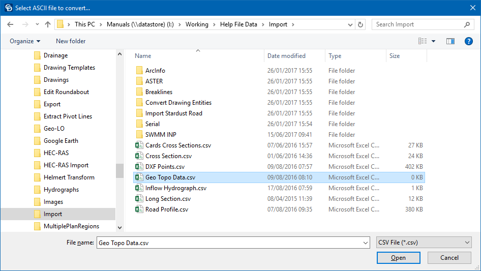
This function allows you to convert geographical coordinates in the form of degrees, minutes and seconds of latitude and longitude, to Y and X coordinates in the project projection in Civil Designer format.
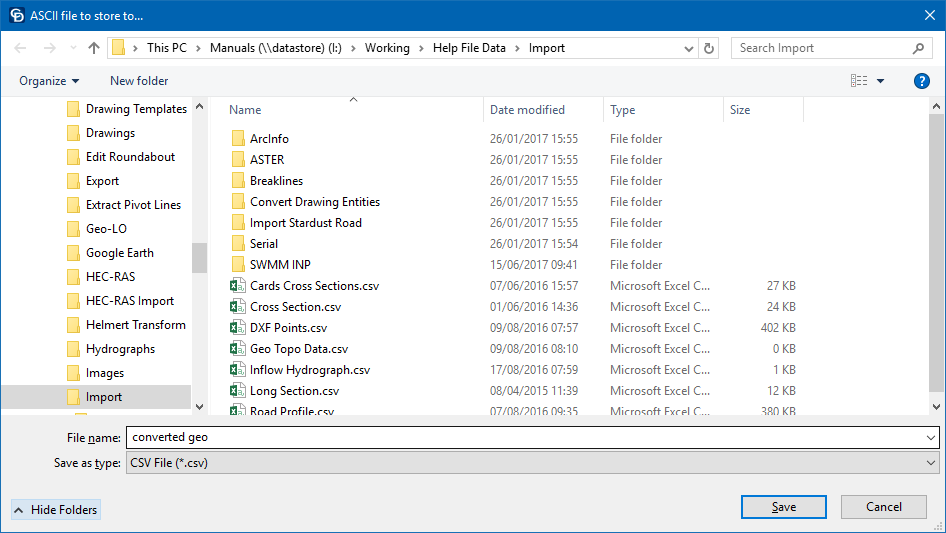
The ASCII file with geo coordinates is read and a file with topographical coordinates is created. The converted coordinates can be set relative to any standard line of longitude.
Incoming data must be comma separated in the form:
Name, Lat.deg, Lat.min, Lat.sec, Long.deg, Long.min, Long.sec, Altitude.
123617,29,46,56.2447,30,49,13.4724,492.57,02,14,11,19,00,068
123647,29,46,56.3786,30,49,13.7638,492.79,02,14,11,19,00,068
123717,29,46,56.3682,30,49,13.6238,491.73,02,14,11,15,00,068
123747,29,46,56.9579,30,49,12.5997,491.56,02,14,11,15,00,068
123817,29,46,56.4389,30,49,12.3948,497.75,02,14,11,19,00,068
123847,29,46,56.4549,30,49,12.5944,494.99,02,14,11,28,00,068
123917,29,46,56.7650,30,49,13.6075,495.62,02,14,11,28,00,068
123947,29,46,56.2697,30,49,13.6729,495.64,02,14,11,15,00,068
124017,29,46,56.1959,30,49,13.9915,494.91,02,14,11,15,00,068
Data after the last valid item is ignored. In the preceding example, these are the six figures following the elevation, which are the GPS satellite numbers and PDOP.
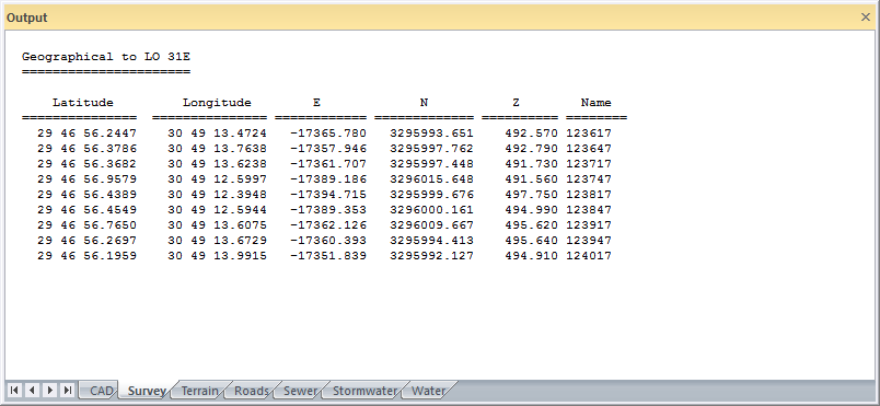
Converted data is written as Name, Y, X, Z.
In the above example, the time stamp on the reading has been adopted as the name. This can be a very useful technique for tracking movement and can also be used for the Intelli-Lines function.
 Note that latitudes in the southern hemisphere, and longitudes in the western hemisphere, must be entered as negative values.
Procedure

If the project is set up with a non-local projection like Transverse Mercator or UTM, the central longitude as entered in the Project Settings is used for the destination central longitude in the conversion.


