Icon
Command
Menu
Toolbar
![]()
TK_SURVEYAUTOJOINPOINTS
Toolkit
Survey COGO
Join points from point pair file.
|
Icon |
Command |
Menu |
Toolbar |
|
|
TK_SURVEYAUTOJOINPOINTS |
Toolkit |
Survey COGO |
This function allows you to open a file containing coordinate points to join together.
The format of the file is comma-delimited with the following data:
point 1, point 2
An example is shown below:

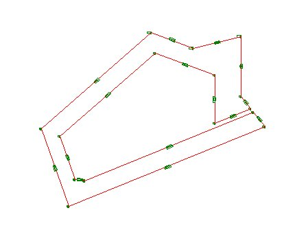
The point names must correspond with existing COGO points in the drawing.
Procedure
The drawing must be in Surveyor Mode, or the program displays the following message and exits the function.

If the drawing is not in Surveyor Mode, you can change the coordinate system in Drawing Settings.

Click Yes if you want distance and bearing added to the join; or No if you want just a line joining the points.

Browse for the file and click Open.
The COGO points are joined according to the data in the join file, and the following message displays.

