Icon
Command
Menu
Toolbar
![]()
TK_SURVEYIMPORTPOINTS
Toolkit
Survey COGO
Import coordinate points from a file.
|
Icon |
Command |
Menu |
Toolbar |
|
|
TK_SURVEYIMPORTPOINTS |
Toolkit |
Survey COGO |
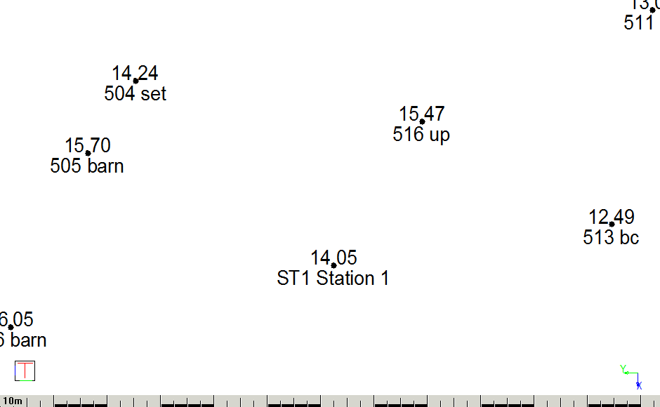
This function allows you to import coordinate data from a file with a .dat extension. It displays the coordinate points on the drawing with point number and elevation. You can join the points, jump to points, and add new points, and export these points using the other functions in the COGO menu.
The format of the file is comma-delimited with the following data:
point number, horizontal coordinate, vertical coordinate, elevation and point description
Elevation and point description are optional.
An example is shown below.

Procedure
The drawing must be in Surveyor Mode, or the program displays the following message and exits the function.

If the drawing is not in Surveyor Mode, you can change the coordinate system in Drawing Settings.

Browse for the file and click Open.

Specify the data format and adjust the column widths if you are importing fixed width columns by dragging the column headers until all the required data is shown for each column.
Click OK to proceed.