Icon
Command
Menu
Toolbar
![]()
Coordinates.a4s
Toolkit
General
Import survey coordinates from file.
|
Icon |
Command |
Menu |
Toolbar |
|
|
Coordinates.a4s |
Toolkit |
General |
This function allows you to import a file of survey coordinates and add them to the drawing in the following forms:
|
Element
|
Example |
|
Points |
|
|
Points and labels |
|
|
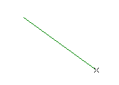
Lines |
|
|
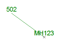
Lines and labels |
|
The imported file can be in the following formats.
|
File Format
|
Data Format |
|
Comma delimited |
name,ycoord,xcoord,zcoord "MH 123", 310073.1411, 2781331.7202, 1565.231 |
|
Tab delimited |
name<TAB>ycoord<TAB>xcoord<TAB>zcoord "MH 123" 310073.141 2781331.720 1565.231 |
|
Space delimited |
"name" ycoord xcoord zcoord "MH 123" 310073.141 2781331.720 1565.231 |
Important points to remember:
The name field may be empty but the delimiter is still required for both comma and tab delimited files. The name field is however mandatory for space delimited files.
Names containing spaces must be surrounded with quotes ("") ie. "MH 123".
Multiple consecutive spaces are treated as one space for delimiter purposes.
The first line of the file can optionally specify survey coordinate constants.
Procedure
If the drawing is not in survey coordinates the following message displays.

Click Yes to proceed even though the drawing is in Cartesian mode.
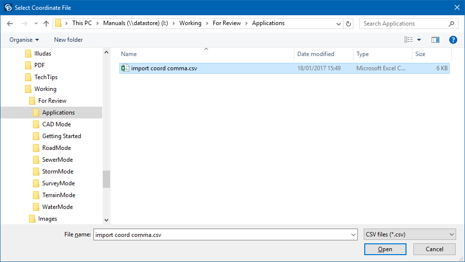
Select the file to import and click Open.
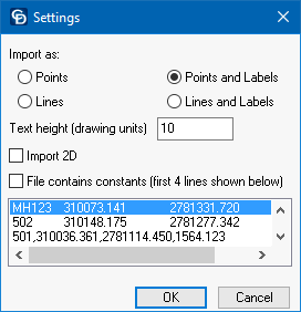
Set suitable options and click OK.

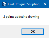
Click Yes to zoom to the limits of the imported points.