 Only points within the current view are operated on.
Validate the lines forming a model on a surface.
|
Icon |
Command |
Shortcut Key |
Toolbar |
|
|
TERRAINVALIDATEMODEL |
|
|
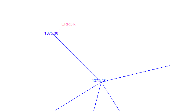
This function allows you to scan the line model on the visible portion of a selected surface to check for any errors. It does this by tracking a perimeter around the visible points, and then tracking all the polygons that form the surface within that perimeter. If an error in a polygon is encountered, a message indicates why the tracking failed. The view is then zoomed into the area where the failure occurred so you can correct the model.
There are a number of reasons why polygon tracking may fail. Chief among these are duplicate points and crossing lines. Inspect the model carefully in the vicinity of the zoomed-in area and you will find the cause of the error.
Only points within the current view are operated on.
Procedure
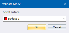
Fill in the relevant data and click OK to continue.
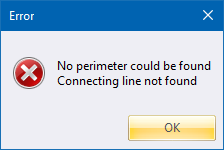
Correct the problem and then re-run the function.
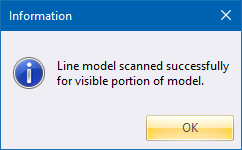
Click OK to close the message box.