Home > LIDAR Thinner
This utility analyses a LIDAR YXZ/LAS file and reduces the number of points to a specified grid interval.
LIDAR data is extremely dense and in many instances cumbersome to work with because of the large number of points. Equally important is that some of the LIDAR points may not be on the ground level, but actually of the top of structures or trees, creating an incorrect DTM model.
For every grid interval, the program extracts the lowest point. The grid size (density) is determined by the amount of available memory up to 3GB.
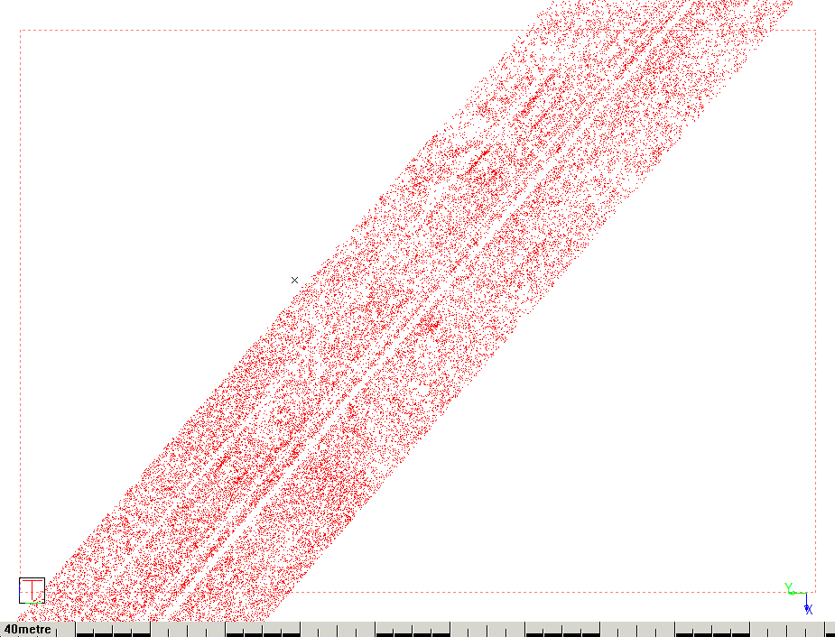
Essentially the LIDAR Thinner can reduce a file from this amount of points:
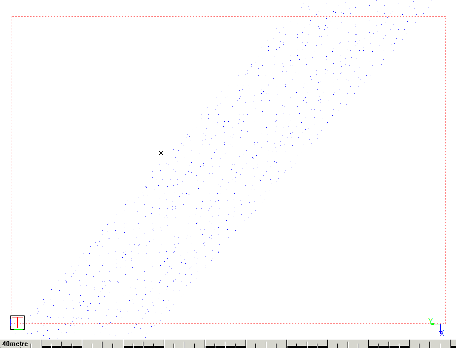
To this amount of points:
Procedure


Specify the output folder if it is different to the location of the LIDAR file. Specify a grid spacing.

